Search -
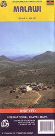
Malawi Map
Malawi Map
Author:
Travel map of the country in color. Distinguishes roads from primary paved roads to minor roads and tracks, with distances in kilometers. Color changes show elevation levels. Shows trails, railways, airports, ports, bus stations, gasoline stations, post offices, medical facilities, telephones, accommodations, museums, points of interest, archaeo... more »
ISBN-13: 9781553413073
ISBN-10: 1553413075
Pages: 1
Rating: ?
ISBN-10: 1553413075
Pages: 1
Rating: ?
0 stars, based on 0 rating
Genres:
- Reference >> Atlases & Maps
- Travel >> Africa >> Malawi
- Travel >> Travel Writing


