Search -
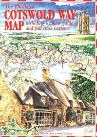
The Cotswold Way Map (Walkabout)
The Cotswold Way Map - Walkabout
Author:
This Map Un-folds from an A5 booklet cover to show the whole 104 miles of the Cotswold Way in full colour, fully illustrated by the international cartographer and artist Roger Ellis. It shows not only the Cotswold Way footpath winding its way between Chipping Campden and Bath but also the major attractions seen along the Way. A must fo... more »
ISBN-13: 9781873877197
ISBN-10: 1873877196
Rating: ?
ISBN-10: 1873877196
Rating: ?
0 stars, based on 0 rating
Genres:
- Reference >> Atlases & Maps
- Travel >> Europe >> Great Britain >> England >> General
- Travel >> Europe >> Great Britain >> England >> Gloucestershire
- Outdoors & Nature >> Hiking & Camping >> Walking


